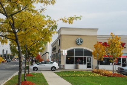
St Clair Land Use and Avenue Study


Client
City of Toronto

Location
Toronto

Duration
2009-2010
The Official Plan identifies key avenues as places for mixed-use intensification, public realm improvements and higher order transit service thereby connecting the city through a series of vibrant streets. These major thoroughfares support the City’s growth objectives by directing housing and employment growth to built-up areas able to support sustainable growth while protecting stable neighbourhoods.
GPA staff led the team of consultants retained to create a land use plan – including Official Plan policies, a zoning framework, urban design guidelines, and appropriate streetscape and transportation improvements – that will guide the long-term redevelopment of this important district in Toronto’s west end. Key elements of the study included an assessment of employment history and prospects for the area, broad stakeholder engagement, and developing a thoughtful approach to intensification that will encourage the type of development that reflects the principles developed by the community over the Study process.
The public consultation program for this study was extensive. The first open house meeting attracted over 100 participants. Interest in the study allowed for the creation of Local Advisory Committee (LAC) made up of a diverse group of stakeholders. The LAC provided valuable feedback throughout the study, from verifying information to responding to draft recommendations. The consultation process also included an all-day design charrette and additional public meetings.

