Southeast Courtice Secondary Plan


Client
Municipality of Clarington

Location

Duration
2018 ongoing
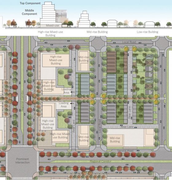
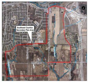
The Municipality of Clarington commissioned AECOM and Gladki Planning Associates (GPA) to prepare a Secondary Plan for future urban development supported by an Environmental Assessment of two regional corridors – Bloor Street and Courtice Road. The study area extends over 280 hectares of urban land area within Courtice, Ontario.
AECOM and GPA are developing the land use planning using the Integrated Planning and Environmental Assessment approach. The study develops a secondary plan for the community which will be implemented through a new Zoning By-Law and Urban Design and Sustainability Guidelines.
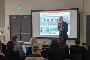
The Secondary Plan advances the Clarington Green development principles and leading-edge standards. Consultation and collaboration with stakeholders were critical to focusing on developing key objectives for a connected, sustainable and livable.
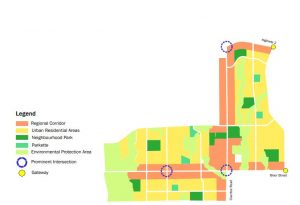
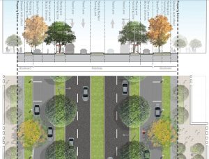
The Secondary Plan area is oriented around Regional Corridors which feature a proposed multi-way design. The Plan conforms to and implements the Clarington Official Plan, the Durham Region Official Plan, Provincial Policies and Plans as well as recommendations from related studies such as the Robinson Creek and Tooley Creek Subwatershed Plan and the Courtice Employment Lands.

